


Modern Site Investigation Input and Output
Management Software
Simple and user-friendly data entry, generating completely customisable and fully AGS 4.2.0 compliant outputs.
Simple and user-friendly data entry, generating completely customisable and fully AGS 4.2.0 compliant outputs.
Everything you need to move from field data to exploratory hole log generation seamlessly.
Click on each feature to learn more
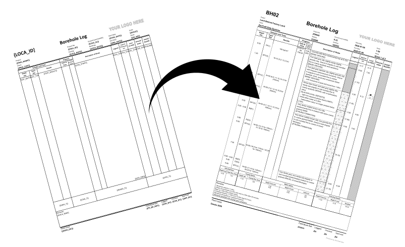
Create your custom exploratory hole templates utilising Microsoft Excel or choose from a selection of pre-made templates. Template creation is made simple with Microsoft Excel: draw borders, add images, and insert header tags to create your own template. ZenTraH Geo also supports hole type specific templates so you can set default templates for each hole type.
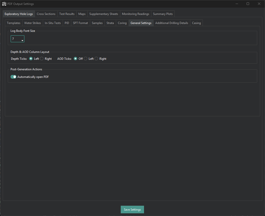
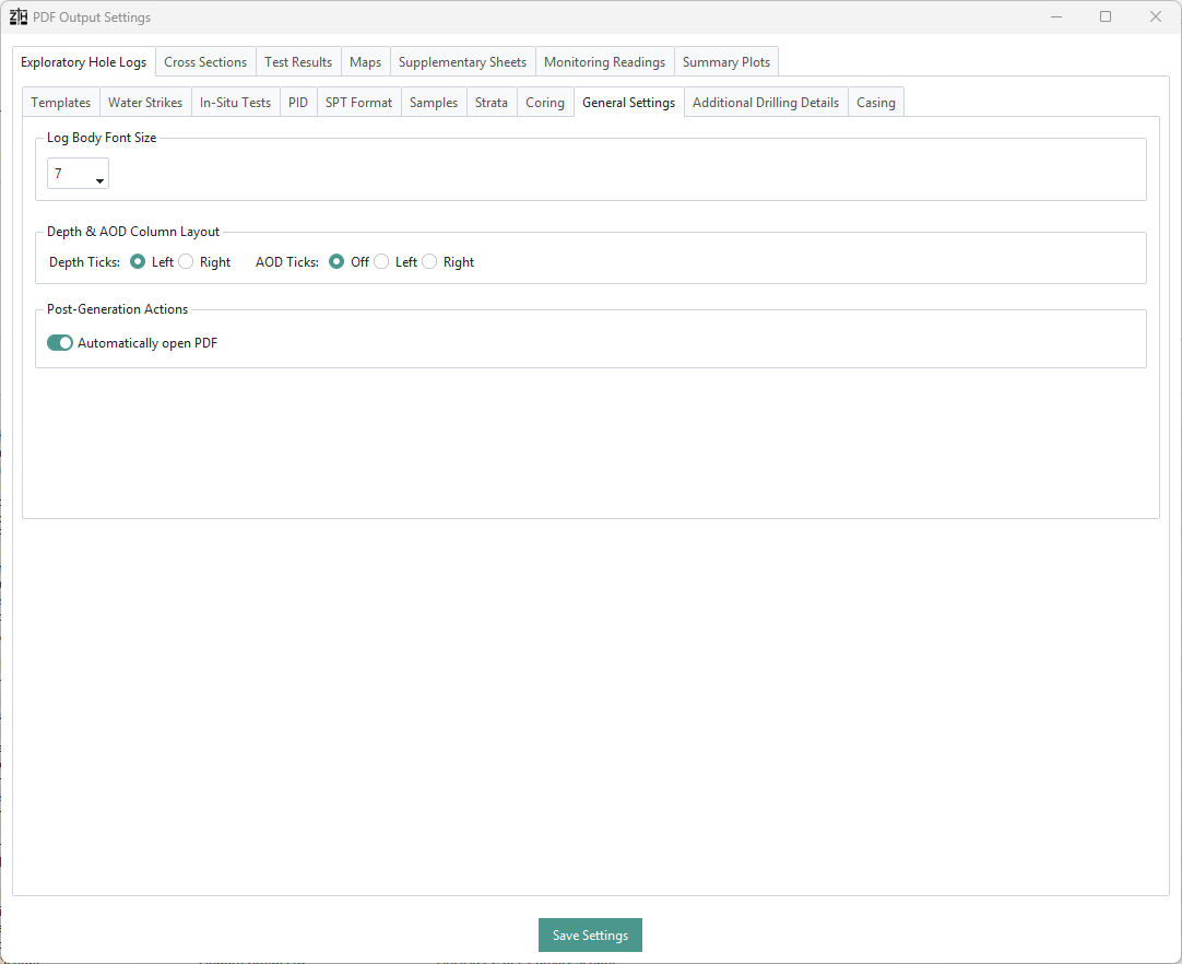
As well as custom templates, ZenTraH Geo provides a large amount of PDF printing settings creating highly flexible output printing to fit within your custom templates. Gain full control over formatting, depth and level marker placement, which columns specific data is printed in, and water strike customisation to produce exploratory hole logs which fit your custom template or printing preference.
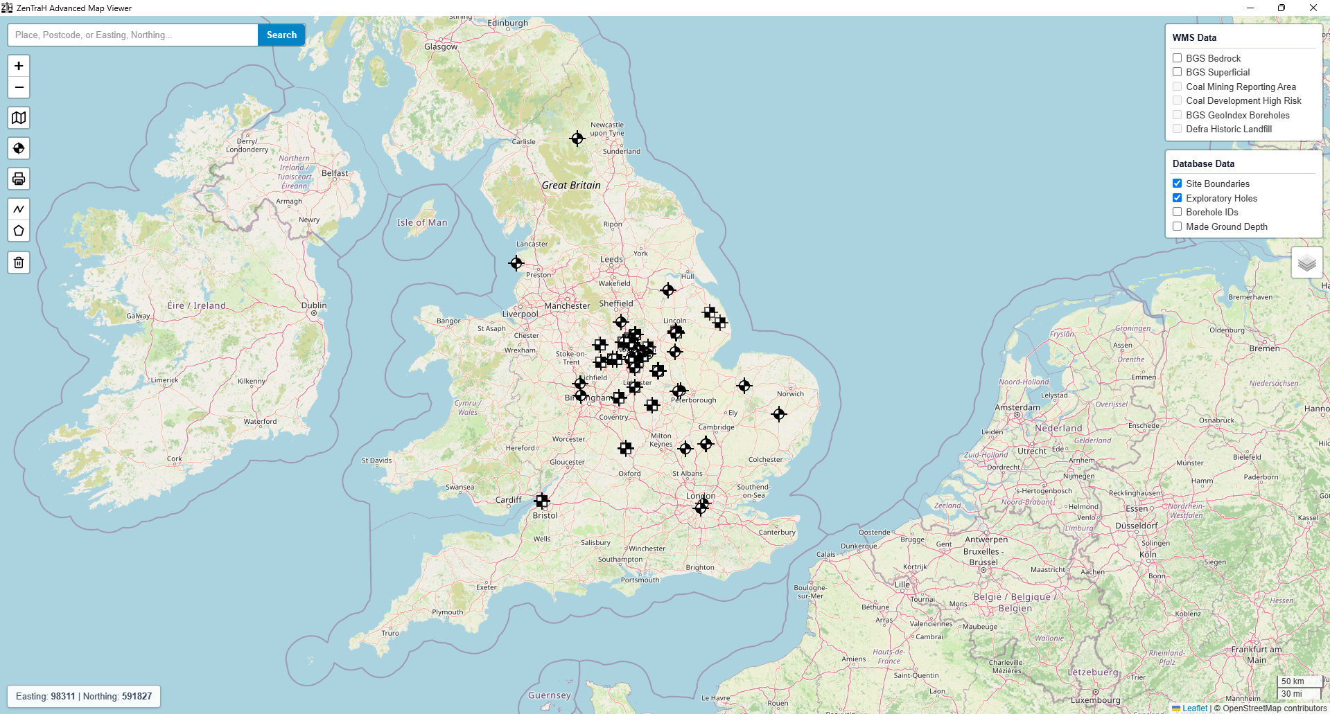
ZenTraH Geo features a built-in interactive map viewer which allows the user to view all of your exploratory hole data geographically. The map viewer also allows the user to create site plan overlays, site location plans, exploratory hole location plans and proposed hole location plans which can be exported to PDF. The map viewer also supports export to a KML file format to allow plans to be imported into Google Earth and utilised in the field.
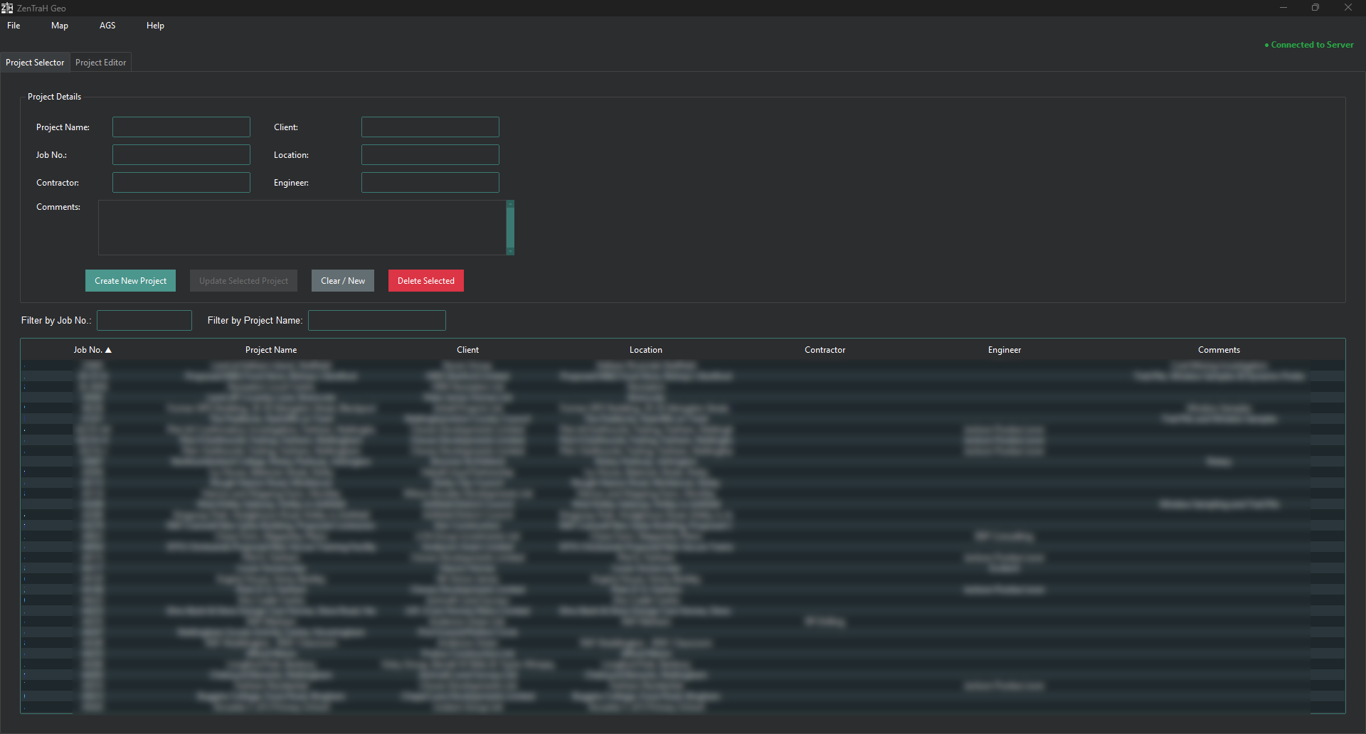
ZenTraH Geo is a downloadable desktop-based application which can be used completely offline. It can be used in the field via a local database or within your office environment on a local or central server-based database. ZenTraH Geo only requires intermittent internet connection to reach the licensing server and does not store or retrieve any of your site data from the users database. There is no cloud storage or web based printing, users' exploratory hole logs will never leave their database (unless exported) and are not accessible by ZenTraH Geo Data.
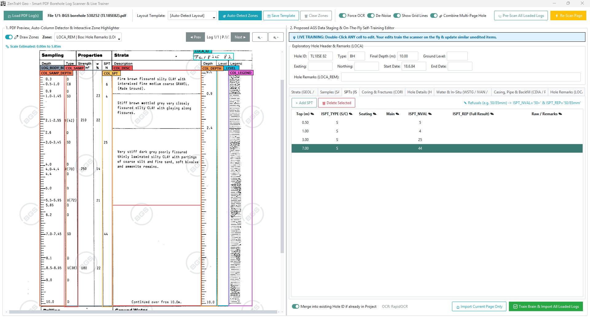
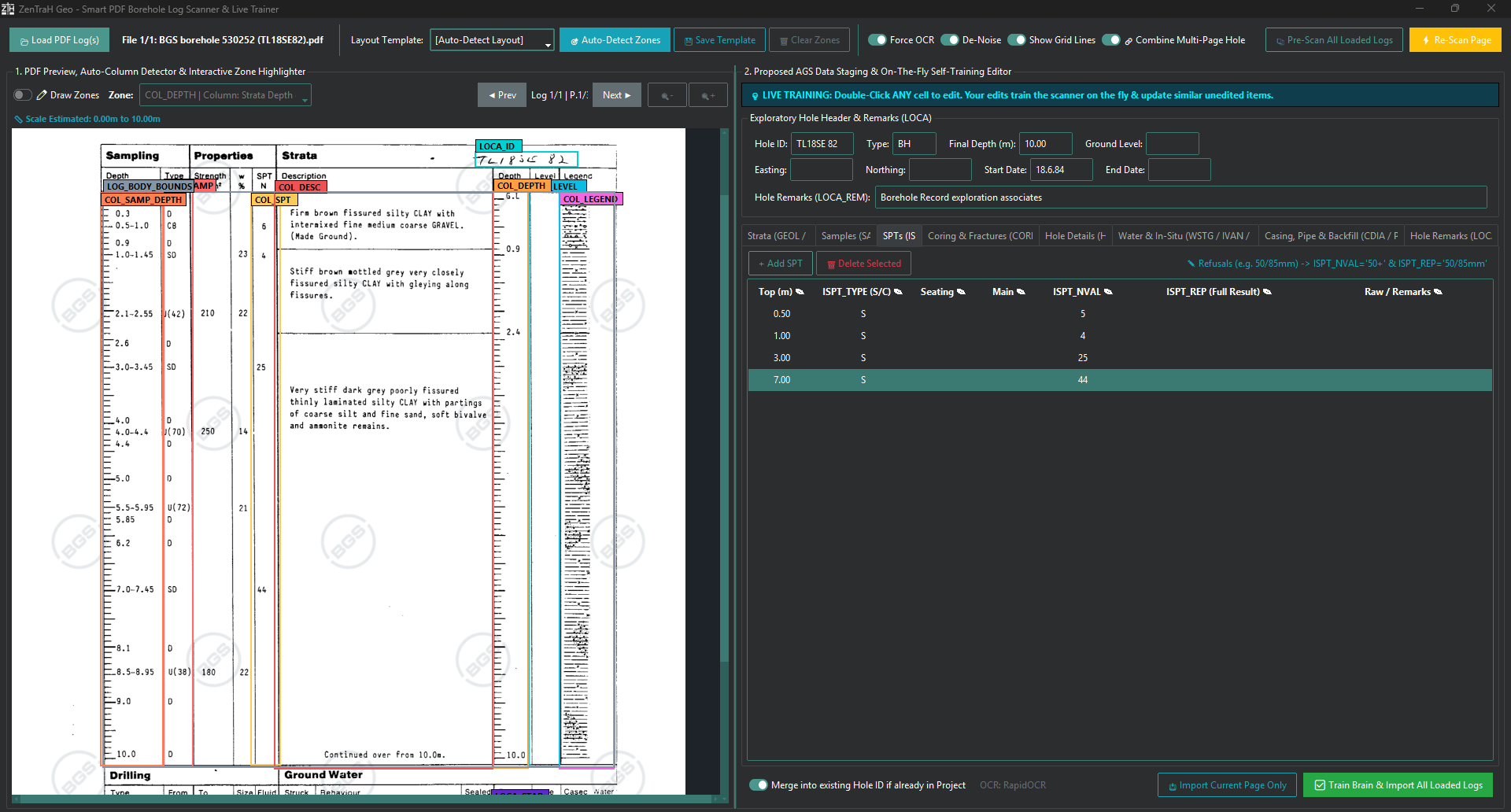
No AGS Data? No Problem. ZenTraH Geo allows the user to batch import historic exploratory hole logs which are only held in PDF format. This allows the user to populate their database by importing legacy data where AGS data is not held or former software does not support AGS export. During importation the data is cleaned and reformatted in accordance with AGS 4.2.0 standards (where required) and added to the users database for viewing or re-printing.
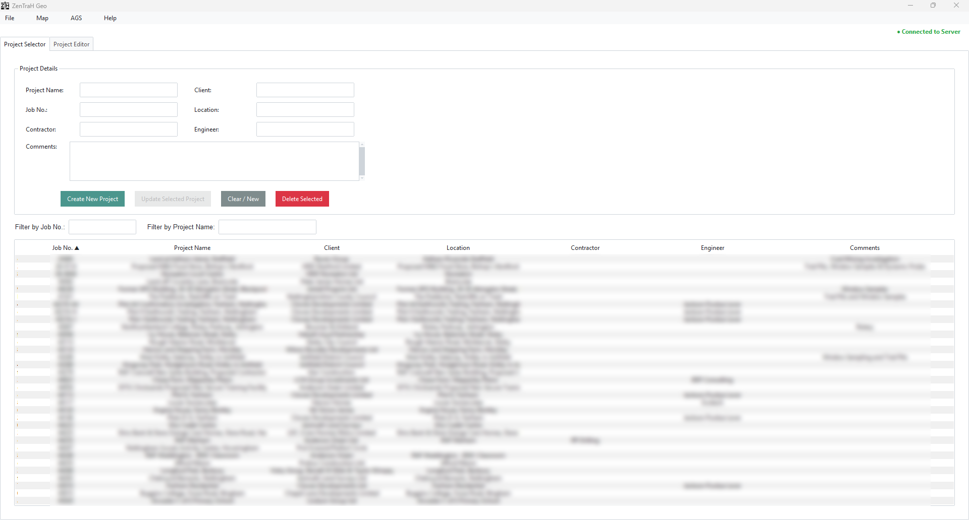
Data is stored within a fully AGS 4.2.0 compliant database. A centralised database allows for cohesive data management and data analysis of all projects.
Input data rapidly with the ability to duplicate fields, custom autofill text abbreviations, an on-the-fly custom spell checker and a multi copy and paste clipboard all built in.
Automatically aggregate SPTs, DCPs, Hand Shear Vanes and Pocket penetrometers into comparative graphical plots against depth and or per geological formation.
ZenTraH Geo is fully AGS 4.2.0 compliant and allows for AGS data import and export, including robust support for processing legacy format AGS files.
ZenTraH Geo features a smart collision-aware rendering engine to prevent text collisions and text runoff, ensuring seamless multipage printing.
Create cross sections from exploratory hole information with customisable output and smart printing features.
Create custom arrow or line graphs presenting dynamic probe data, with the ability to add additional data columns.
Create user-customisable soakaway printing with custom messages and an alternative drop in water level/provisional calculation.
ZenTraH Geo utilises a market-leading GDPR secure licensing provider to handle your passwords and login credentials, meaning ZenTraH Geo Data have no internal storage of your sensitive licensing data.
ZenTraH Geo allows the option to append supplementary information sheets after each exploratory hole or at the end to display all recorded information associated with each exploratory hole.
Print all recorded monitoring information from each exploratory hole. This allows users to print ground gas monitoring, groundwater levels or low flow test data appended to the exploratory holes.
Include DCP blow counts within your exploratory hole logs. Users also have the ability to average blow distances across selected ranges to present average CBR values across strata.